New Point Cloud Viewer Feature
ChronoPoints is a lab at UCF’s Institute for Simulation and Training to digitally documenting mid-century structures and artifacts.
history, oral history, lidar, laser scanning, point cloud, 3d model, maya, unity 3d, virtual, virtual reality, virtual environment, augmented reality, augmented environments, 3d mesh, vr, ar, hololens, microsoft hololens, archeology, research, documenting history, micro oral history, space, space age, apollo, project apollo, gemini, project gemini, mercury, project mercury, cape canaveral, cocoa beach, cape kennedy, kennedy space center, saturn v, atlas, mercury-atlas, redstone, mercury redstone, mid century, mid century modern, googie, digital preservation, 3d printing, sarasota school of architecture, htc vive, UCF, University of Central Florida, IST, Institute for Simulation and Training
16432
post-template-default,single,single-post,postid-16432,single-format-standard,bridge-core-2.6.6,qode-page-transition-enabled,ajax_fade,page_not_loaded,,qode-title-hidden,qode-theme-ver-25.1,qode-theme-bridge,wpb-js-composer js-comp-ver-6.6.0,vc_responsive
11 Jun New Point Cloud Viewer Feature
Posted at 16:31h
in
Laser Scanning
by Admin
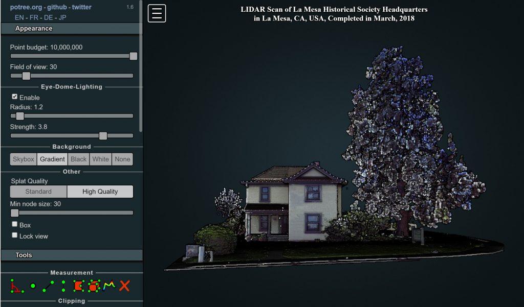
ChronoPoints team member, Rob Michlowitz, has located software from potree.org that will enable you to view and manipulate our laser scans!
At the left of the viewer, there are a number of tools that will enable you to enhance the point cloud based on your computer’s performance.
The McKinney House in La Mesa is the first example – more to follow.